Lake Pend Oreille Map Art
The lake you go back to every summer. The cove, the dock, the road in.
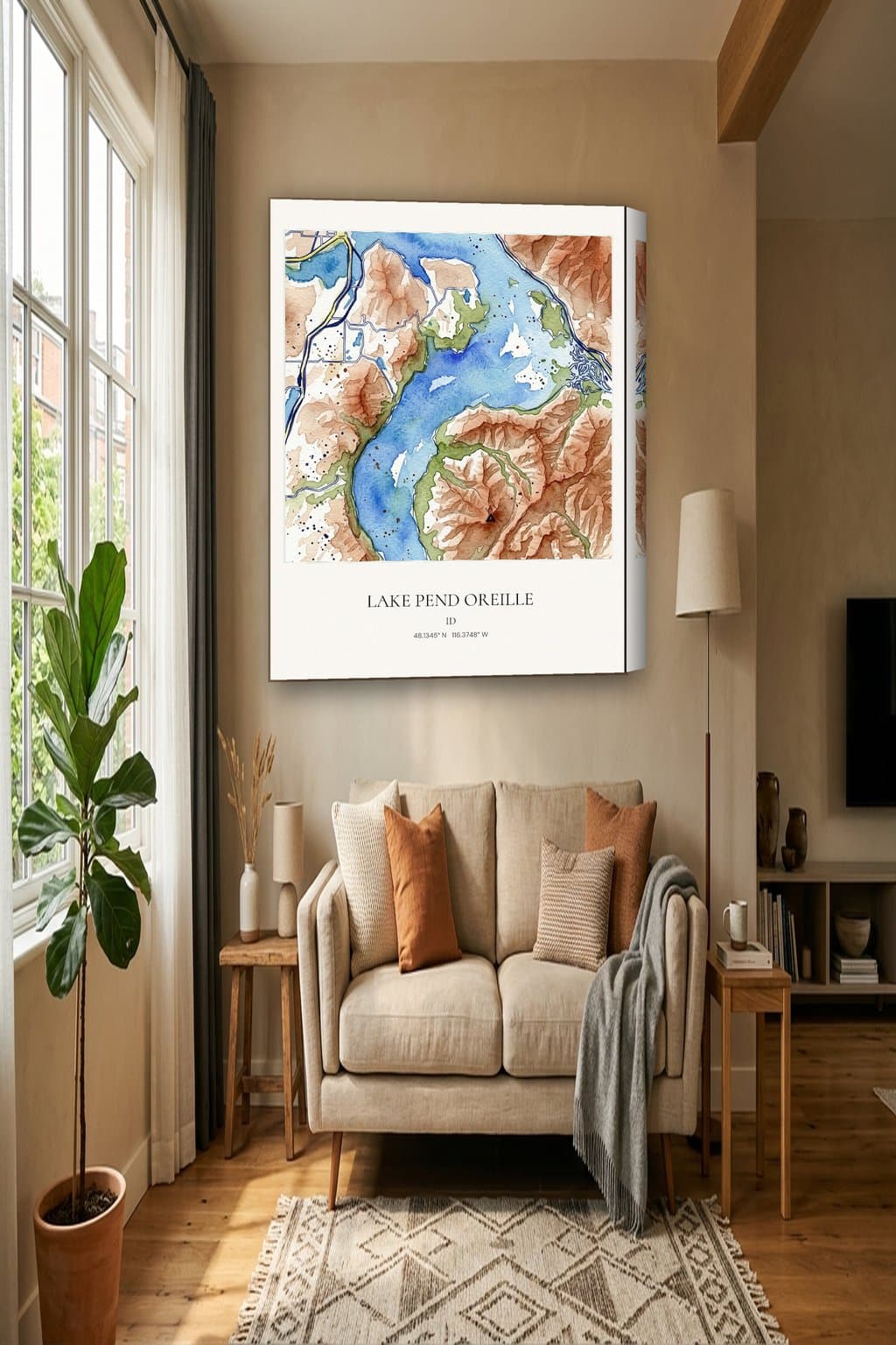
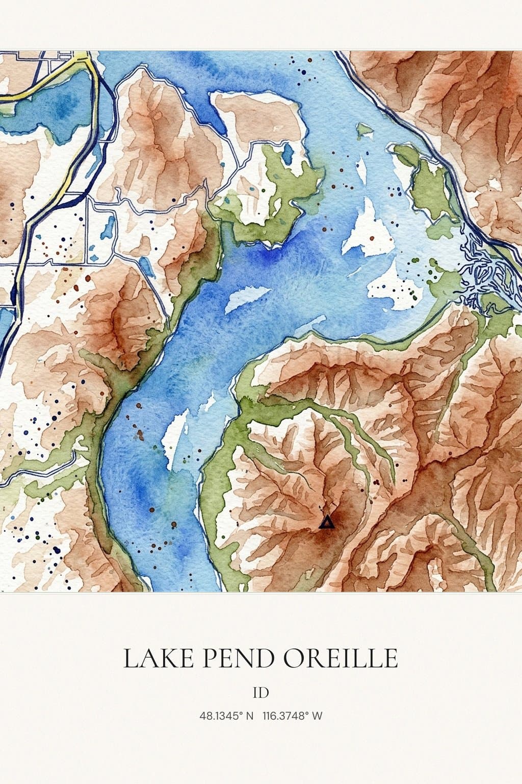
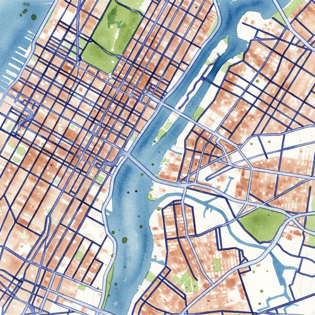
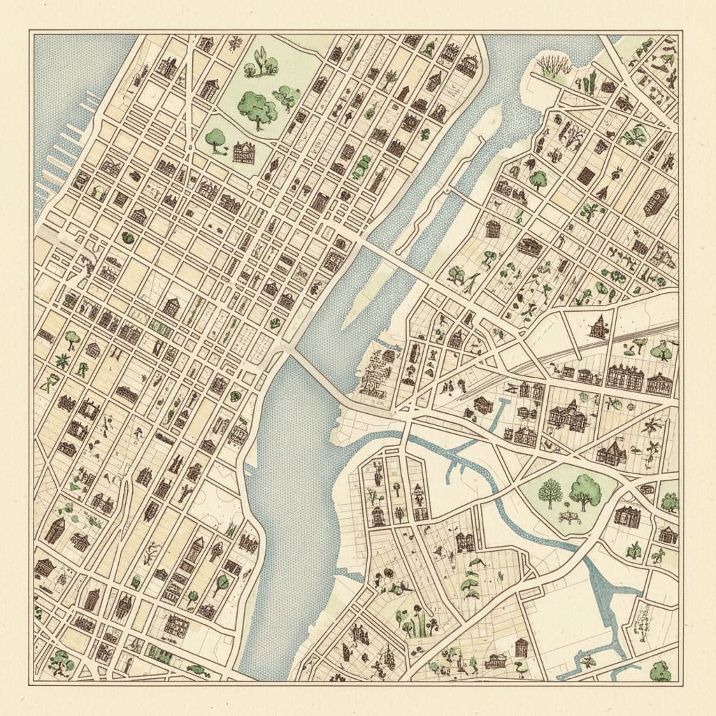
Watercolor sample of Lake Pend Oreille on an 18x24 gallery canvas. Create the same place in any of our 33 styles.
Design your Lake Pend Oreille canvasWhy Lake Pend Oreille
Lake Pend Oreille, said POND-a-RAY, is the largest lake in Idaho, in the northern Panhandle. It runs 43 miles long, covers 148 square miles and reaches 1,152 feet deep in places, which makes it the fifth deepest lake in the nation. The Clark Fork and Pack rivers feed it, and it drains into the Pend Oreille River. The lake formed during the ice age at the south end of the Purcell Trench, carved by glaciers coming down from Canada. National forests of pine, fir, cedar and larch surround it, and most of the shoreline has no homes at all. Sandpoint is the largest town on the lake. Nearly all of the water is in Bonner County, while the southern tip in Kootenai County holds Farragut State Park, once a Navy training station in World War II, where the Navy still runs submarine acoustic research.
Sources: en.wikipedia.org
Map it your way
Center the map on the part of Lake Pend Oreille that means the most to you.
Sandpoint
The largest town on the lake, on the north shore. Center here for the streets near the water.
Farragut State Park
The southern tip, once a Navy training station. A frame of park land and deep water.
The Clark Fork inlet
Where the Clark Fork River feeds the lake. Pick it for a home near the river mouth.
The full lake
Pull back to show the long, bent shape of the whole lake under the forested hills.
Formats and prices
Made in 3 to 5 business days. US shipping is included. Order custom maps by December 7. Order canvas and prints by December 10.
18x24 gallery canvas
$159.95
Fits over a sofa or a console table.
24x36 gallery canvas
$239.95
A larger living-room canvas.
30x40 gallery canvas
$299.95
The largest canvas we offer.
18x24 matte print
$39.95
Unframed matte paper.
Digital download
$9.95
Instant file. Print anywhere.
FAQ
How do you pronounce the name?
POND-a-RAY. The name comes up often from visitors, and it looks good as a title on the print.
Will the empty shoreline look bare on a map?
No. The forest and mountain shapes fill the frame around the water, and the lake outline carries the design.
When should I order for holiday delivery?
Order custom any-city maps by December 7. Order canvas and prints by December 10. Digital downloads are instant.
What sizes can I order?
18x24 canvas is $159.95. 24x36 canvas is $239.95. 30x40 canvas is $299.95. An 18x24 print is $39.95. Digital is $9.95.
Get new styles by email
Join for early access to new styles and holiday order dates.